CSS is pleased to announce that NOAA has awarded our new Joint Venture (JV) with Research Planning, Inc. (RPI) a prime contract for two Professional, Science, and Technical Services (ProTech) program domains: ProTech Oceans 2.0, and ProTech Fisheries 2.0. This new RPI-CSS JV results from a Small Business Administration-approved Mentor-Protégé Agreement between CSS and RPI and opens the door for leveraging new partnerships and expanding contract opportunities.
NOAA ProTech Oceans 2.0 Domain – Work under this contract will support NOAA’s National Ocean Service in providing the data, tools, and services that support coastal economies and promote the development and management of the oceans and their resources. Our services for this domain are organized under five major program areas:
- Studies, Analyses, and Reports
- Applied Research, Development, Engineering, Consulting and Operations
- Field Sampling, Data Collecting, and Surveys
- Consulting, Program and Project Management
- Capacity Building
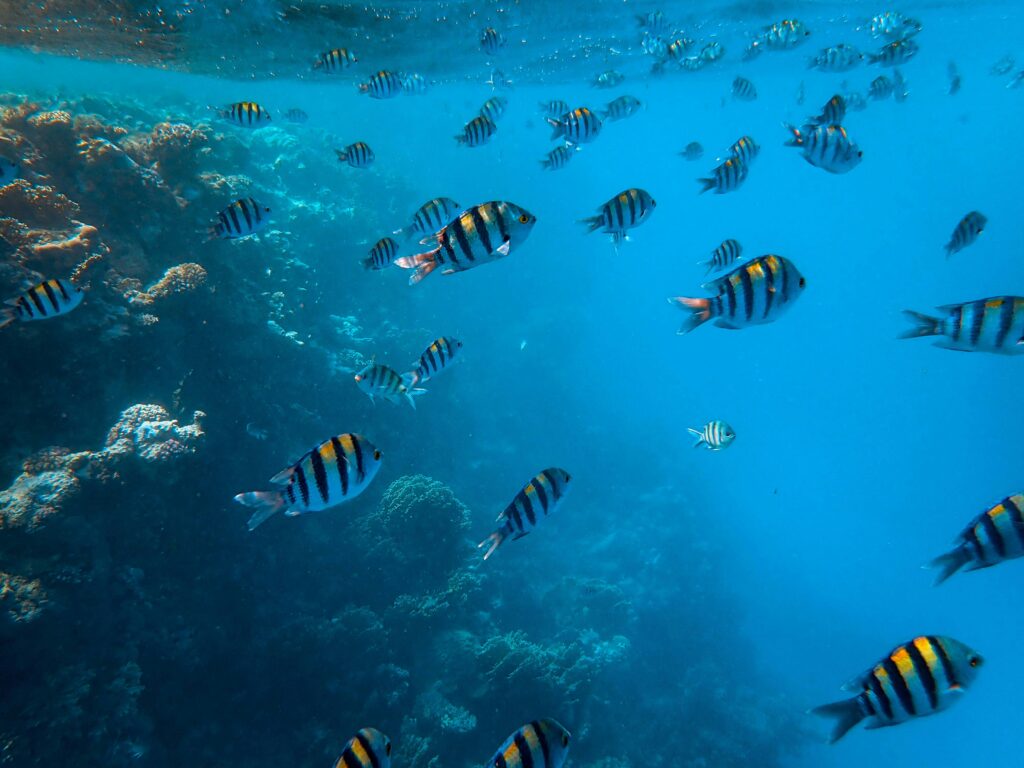
NOAA ProTech Fisheries Domain – Work under this contract will support NOAA’s National Marine Fisheries Service protected resources and habitat conservation efforts, and assist the NOAA Fisheries in promoting the conservation, management, and sustainable use of living marine resources. Our comprehensive services for this domain are organized under the following major program areas:
- Studies, Data Analyses, and Reports Applied Research, Engineering, Consulting, and Operations
- Field Sampling, Data Collection, and Surveys
- Training and Program and Project Management
- Fisheries Management and Consultation Activities
- Economic and Social Science
Visit our Contract Vehicle page for more information on CSS GSA schedules.
See More CSS Insights
CSS Awarded Five Year Subcontract Supporting the Bureau of Engraving and Printing
For over 22 years, CSS has supported the Bureau of Engraving and Printing (BEP). Originally as a prime contractor, CSS began supporting BEP in 2002. In November 2024, a new prime contractor, Koniag, signed CSS as a major subcontractor, which enabled CSS employee owners to continue providing comprehensive environmental, occupational safety and industrial hygiene support…
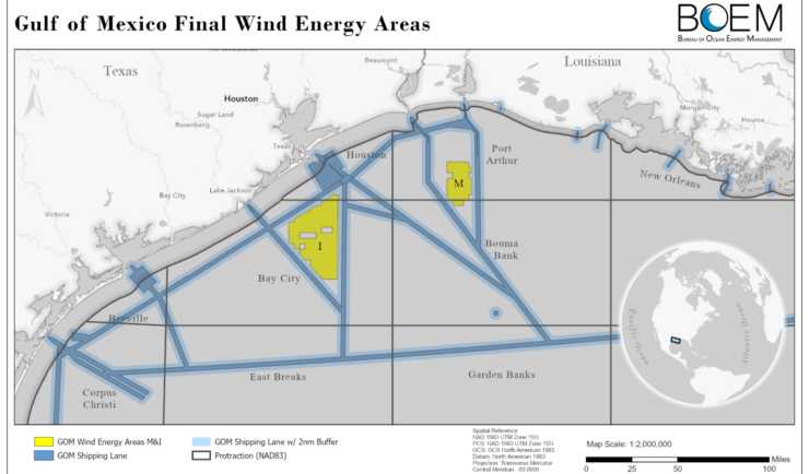
Expanding Our Offshore Wind Team
We’ve recently added several staff to bolster the offshore wind team at NOAA’s National Centers for Coastal Ocean Science. With this full team of 13, our employee owners are able to provide more focused support in their areas of expertise, including mapping and spatial modeling, data collection, communications, project management, and partner engagement. Through this…
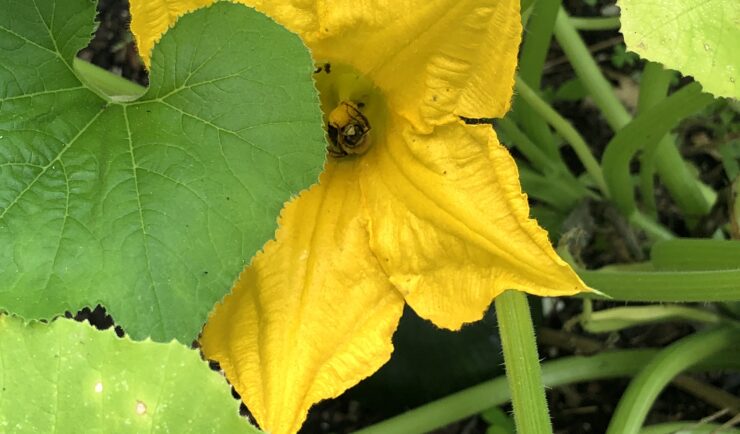
Over 40 Years of Support
Since 1982, members of our staff have supported EPA’s Office of Pesticide Programs. As part of this contract, our staff assess environmental and human health impacts on anthropogenic chemicals. The agricultural industry is critical to food and textile production, it is a large contributor to the U.S. economy. Not only does the industry provide food…