- Success Stories, Uncategorized
- Satellite Science & Environmental Intelligence
Engaging in New and Emergent Satellite Technologies
CSS employee owners (formerly Riverside employees) support the National Oceanic and Atmospheric Administration’s (NOAA) National Environmental Satellite, Data, and Information Service’s (NESDIS) Center for Satellite Applications and Research (STAR). STAR is the science arm of NESDIS, which acquires and manages the nation’s environmental satellites for NOAA. Satellite observations are critical to informing situational awareness and numerical weather prediction applications. These applications provide guidance to users and stakeholders on environmental threats at multiple timescales, from current analyses to medium-range and seasonal-to-subseasonal lead times.
As a subtask, CSS employee owners support the NESDIS Research and Technology Maturation for Exploitation of Emerging Technology (RTMEE). Objectives for this task are to ensure STAR is engaged in new emerging technologies, numerical techniques, new observing systems and in supporting next-generation systems, to keep all aspects of STAR activities relevant for the future. This is achieved by undertaking research and technology maturation activities that will transition to supporting mission activities and advanced programs in NOAA. The work will ensure that the quality of the data produced by NOAA meet or exceed international standards.

For their role, CSS employee owners supporting RTMEE are responsible for collaborating with NESDIS Systems Architecture and Engineering (SAE) and STAR staff to explore new technologies in support of NOAA’s mission. CSS leverages SAE and STAR expertise in satellite data and applications required to address the needs of data exploitation, validation, verification, and quality and impact assessment opportunities. CSS supports the advancement of NOAA’s observational and data system capabilities with both internal and external NOAA partners and demonstrates the value of artificial intelligence to efficiently exploit the information content of microwave sensor concepts and quantify the impact on NOAA systems. In addition, we support the evaluation and exploitation of 3D-wind measurements to help determine the impact of the potential deployment of new types of satellite sensors dedicated to filling gaps to improve the quality of weather and climate data.
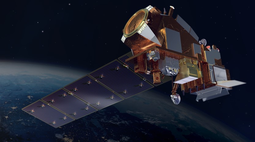
Feature photo credit: Artist rendering of NOAA 21 satellite (credit: NOAA)
See More CSS Insights
Supporting Safety In Higher Education Laboratories
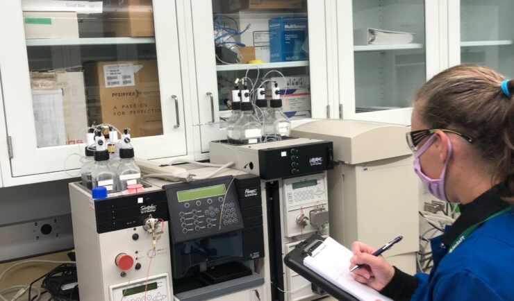
In the past two years we’ve expanded our safety portfolio to supporting colleges and universities, ensuring their laboratories meet industrial hygiene and safety standards. Our staff member leading the effort is a Certified Industrial Hygienist (CIH) and Certified Safety Professional (CSP), and member of the Remote Industrial Hygiene and Safety Support Team. Our short-term projects…
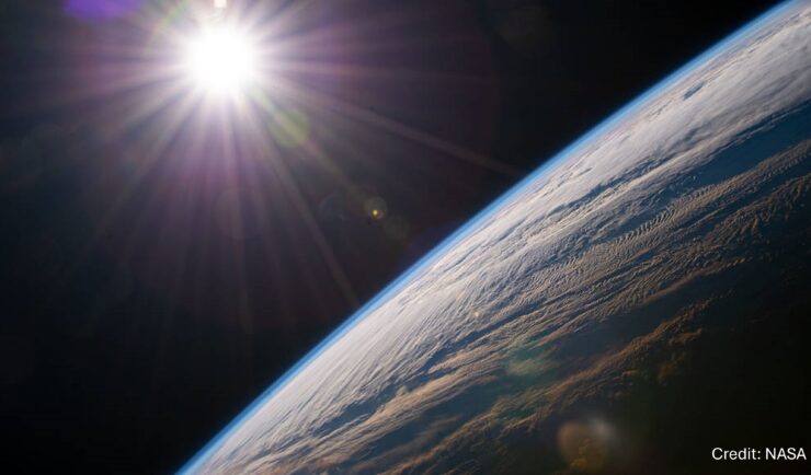
55 Years of Earth Day!
Since April 22, 1970 — that’s 55 years! — we’ve celebrated Earth Day to raise environmental awareness and support for environmental protection. At CSS we have a passion for the environment and through various government contracts, we work with our clients to overcome challenges to help protect this rock we call home. Below are a…
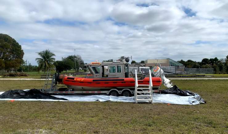
Large-Scale Decontamination Proves Successful
In the spring of 2022, we worked with the U.S. Environmental Protection Agency and the U.S. Coast Guard on a project called Analysis for Coastal Operational Resiliency-Wide Area Demonstration (WAD) which tests large scale decontamination following the release of surrogate bioagents. The team conducted a WAD at a military base in Virginia to test decontamination…