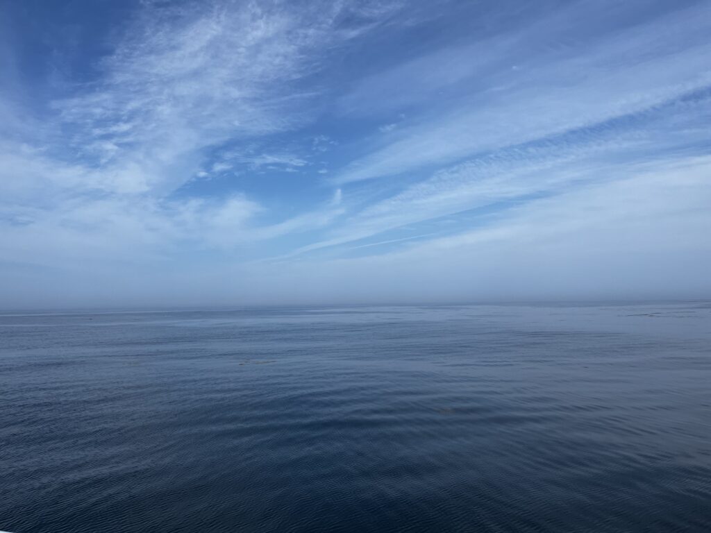
The ocean covers about 71 percent of the Earth’s surface, and life on this planet depends heavily on the ocean. We celebrate its vast being and presence each year on June 8. With CSS so heavily dedicated to Earth and environmental science, it makes sense that many CSS employee owners are deeply embedded in ocean science, from tidal ecosystems to deeper sea benthic communities. Below are a few projects our staff are involved in to assess ocean health and help make the ocean a healthier place for life on this planet.
- Restoring marsh ecosystems
- Assessing the ocean economy
- Conserving shallow coral communities affected by stony coral tissue loss disease
- Mapping, assessing, and restoring mesophotic and deep benthic communities
- Developing suitability models to inform BOEM’s selection of offshore wind energy areas
- Managing ocean data and tools to inform ocean planning and offshore renewable energy
- Forecasting, monitoring, and detecting harmful algal blooms
- Mapping and assessing seagrass and kelp and other coastal habitats
- Assessing ocean toxins and pollutants through shellfish sampling

Through several contracts with the National Oceanic and Atmospheric Administration and the U.S. Environmental Protection Agency, CSS employee owners are dedicated to protecting our ocean, its ecosystems, and life that depends on it.
See More CSS Insights
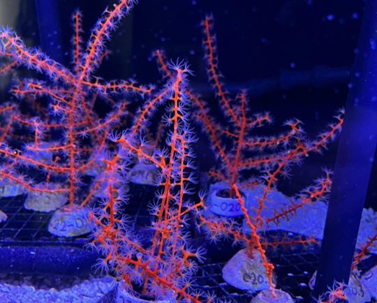
Studying Mesophotic Coral Health
Mesophotic coral can live at depths of 500 feet below the ocean surface. Even at this depth, some of the mesophotic corals in the Gulf of Mexico were affected by the Deepwater Horizon oil spill in 2010. Our coral scientists supporting NOAA’s National Centers for Coastal Ocean Science are studying the extent of this impact.…
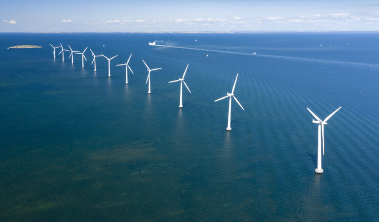
Contributing to Wind Energy Area Designations
The Bureau of Ocean Energy Management (BOEM) recently announced two Wind Energy Areas (WEAs) in the Gulf of Mexico. The WEAs are located off the coasts of Galveston, Texas, and Lake Charles, Louisiana and have the potential to power nearly three million homes. BOEM collaborated with the National Oceanic and Atmospheric Administration (NOAA) to identify…
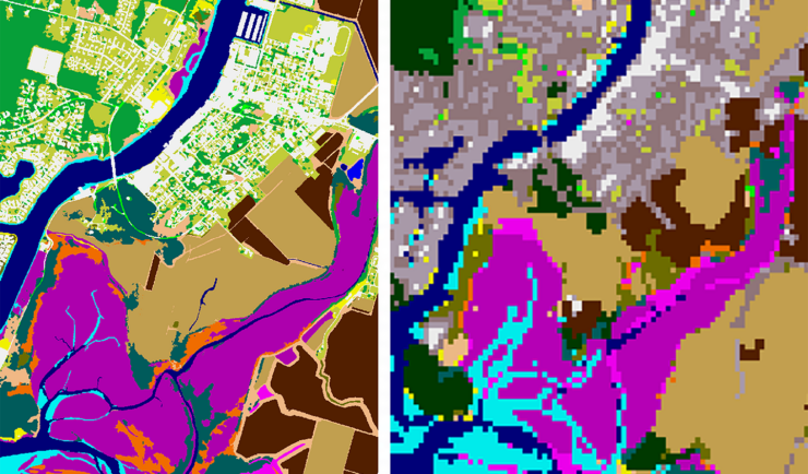
New Heavily Desired High Resolution Land Cover Data for the U.S.
The National Oceanic and Atmospheric Administration recently announced the launch of the long desired high-resolution coastal land cover data. This highly anticipated data are available for most coastal areas of the U.S., including Alaska and the U.S. territories. CSS employee owners contributed to the release of this data set by participating in production activities and…